Crop Monitoring Overview
About
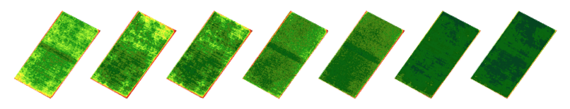
Using Leaf's Crop Monitoring service you will be able to easily implement a satellite imagery application and compare the field health evolution over time.
You can get historical images with Leaf.
By default, Leaf retrieves images from 30 days prior to the creation of your field. But you can increase that to as far back in time as you want. Here's how
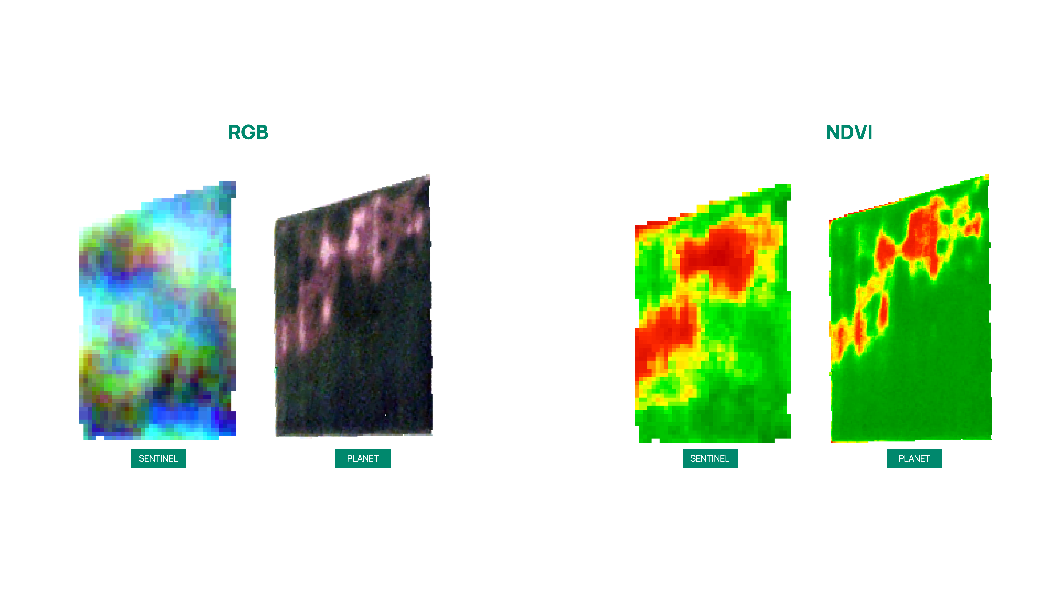
This API accepts field boundary polygons and returns processed, clipped, and color-corrected RGB, NDVI, and NDRE images every time there is a new image available. We also provide information like percent cloud coverage of the field, the data coverage percentage, and the tile source for each image as well.
Currently, our Crop Monitoring service runs without a relationship between our Field Services, and the User Management Services.
However, we are working to integrate it into the leafUser hierarchy, and the Fields Service.
See the Satellite API Reference for more information.
Providers
Leaf currently offers access to Sentinel-2 and PlanetScope images through its API. Here is a summary comparison between the providers:
| Sentinel-2 | PlanetScope | |
|---|---|---|
| Spatial resolution | 10 m - 60 m | 3 m |
| Temporal resolution | 3 - 5 days | 1 day |
| Spectral resolution | 12 bands | 4 - 5* bands |
* the number of bands will depend on the asset type requested
For all providers, in addition to the images of the isolated bands, the RGB, NDVI, and NDRE composition are available: